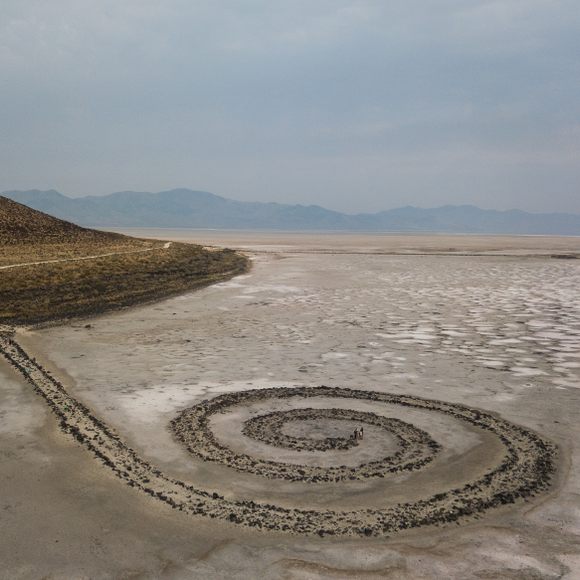
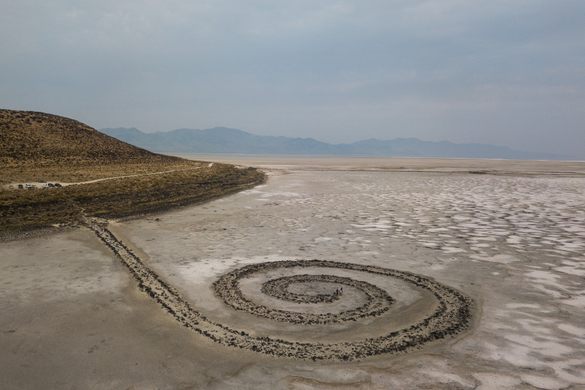
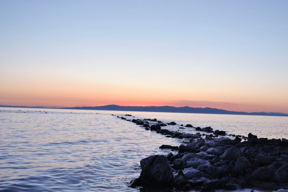
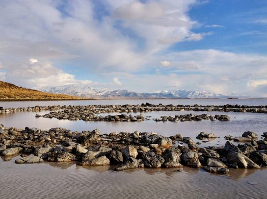
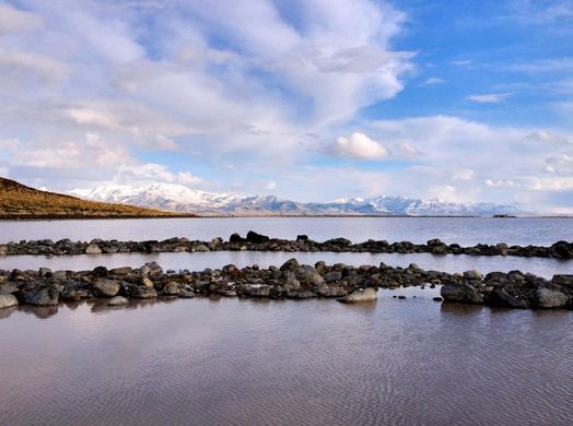
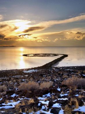
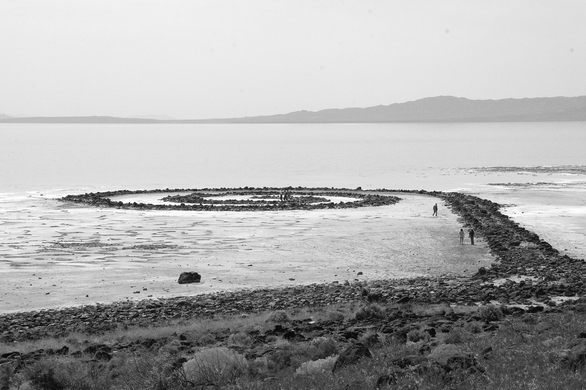
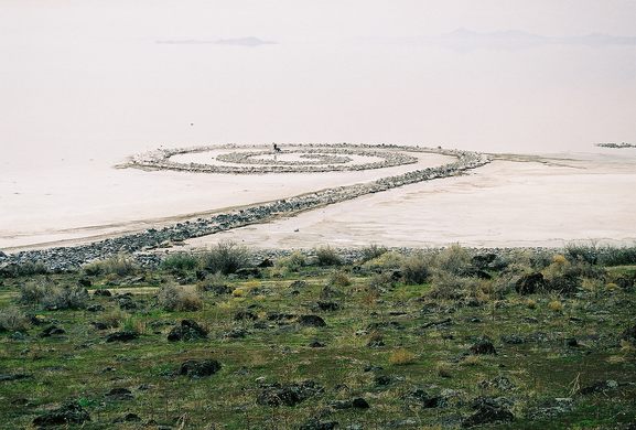
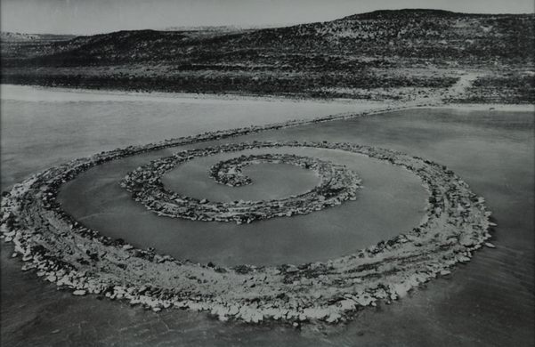
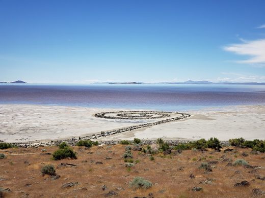
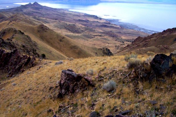
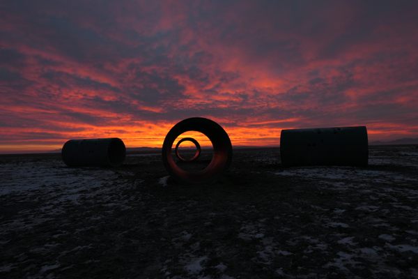
1970年用泥和盐建造水晶,玄武岩和泥土,螺旋码头有1500英尺长,一直延伸到大盐湖。
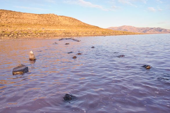
然而,30多年来没有人看到这一成果。罗伯特·史密森(Robert Smithson)在一次干旱期间建造了这座螺旋形建筑,一旦水位恢复正常,它就会被淹没30年,在2004年的一次干旱中再次出现。
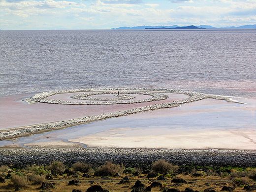
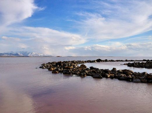
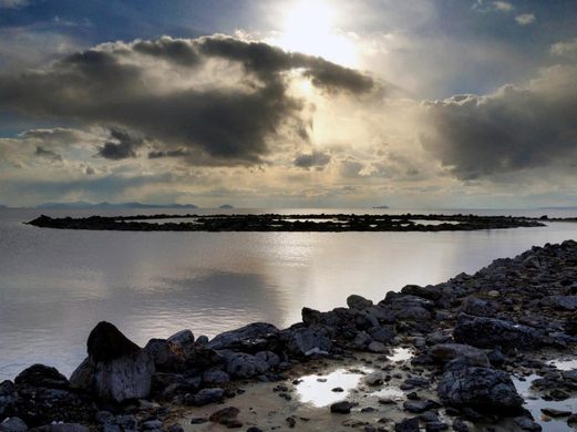
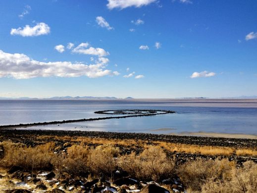
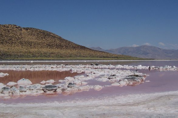
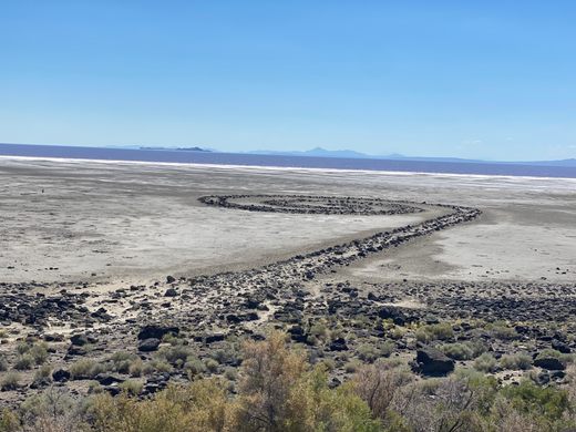
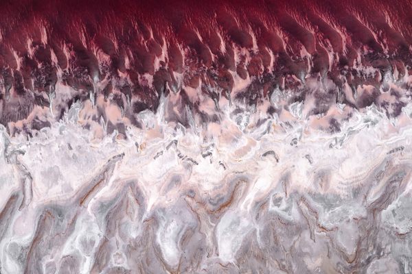
黑色的玄武岩现在覆盖着白色的盐壳,水有粉红色的色调。如果湖水水位高于4197英尺,码头就会消失。目前,由于湖水水位低于历史平均水平,码头完全可见。
有一个修复码头的计划,但不是每个人都同意这个计划。这位雕塑家在完成防波堤三年后死于一场飞机失事,他表达了对熵和自然侵蚀力量的热爱。他的项目是60年代末雕塑运动的一部分土地的艺术.
史密森很可能会对码头消失的行为和变化的外观感到非常高兴。
三思而后行
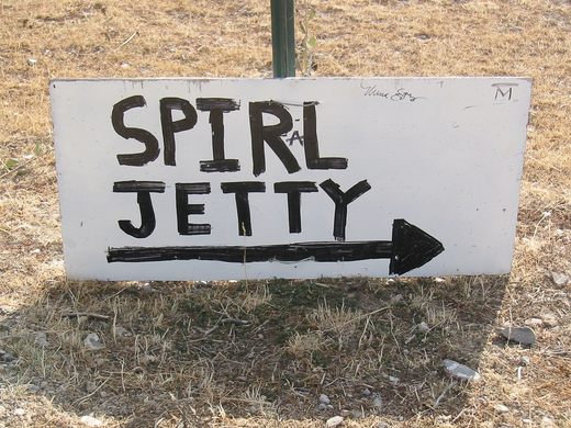
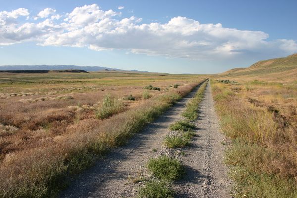
里程表的读数因车而异。下面给出的距离只是近似值。自然资源部在每个转弯处都张贴了指示牌,指示去码头的方向。请不要把这些标志当作纪念品。1.去犹他州布里格姆市以西30英里的金Spike国家历史遗址(GSNHS)。螺旋码头位于GSNHS游客中心西南15.5英里的土路处。2.要到达那里(从盐湖城),可以乘坐I-15号公路向北行驶约65英里,到达犹他州布里格姆市以西的科琳出口(365号出口)。下车后右转上13号公路到科琳。 LAST GAS before Spiral Jetty is in Corinne at the Sinclair truck stop. 3. Past Corinne, the road becomes Highway 83. Continue west for 17.7 miles. 4. Turn left onto "Golden Spike Road" and continue 7.7 miles up the east side of Promontory Pass to GSNHS. LAST BATHROOMS before Spiral Jetty are at the GSNHSs Visitor Center. 5. From the Visitor Center, drive 5.6 miles west on the main gravel road to a fork in the road. Continue left, heading west. (From this vantage, the low foothills that make up Rozel Point are visible to the Southwest.) 6. Immediately you cross a cattle guard. Call this cattle guard #1. Including this one, you cross four cattle guards before you reach Rozel Point and Spiral Jetty. 7. Drive 1.3 miles south to a second fork in the road. Turn right onto the southwest fork, and proceed 1.7 miles to cattle guard #2. 8. Continue southeast 1.2 miles to cattle guard #3. 9. Continue straight 2.8 miles south-southwest to cattle guard #4 and an iron-pipe gate. 10. At this gate the Class D (gravel) road designation ends. From here, four-wheel drive, high clearance vehicles are strongly recommended. 11. If you choose to continue, drive south for another 2.7 miles, and around the east side of Rozel Point, you will see the Lake and a jetty (not Spiral Jetty) left by oil drilling explorations that ended in the 1980s. 12. Southwest beyond the site of the oil jetty, turn right onto a two-track trail that contours above the oil-drilling debris below. Travel slowly--the road is narrow, brush might scratch your vehicle, and the rocks, if not properly negotiated, could high center your vehicle or blow out your tires. Don't hesitate to park and walk. Spiral Jetty is just around the corner. 13. Drive or walk 6/10th of a mile west around Rozel Point and look toward the Lake. Spiral Jetty may be in sight. The lakes levels vary several feet from year-to-year and from season to season, so Spiral Jetty is not always visible above the water line. *addendum circa 2012: the road has been much improved since the above was written, is signed and navigable by passenger car though high clearance is much preferable. google maps will direct you to Spiral Jetty, though cell service is intermittent past the golden spike museum.


在推特上关注我们,了解世界上隐藏的奇迹。
在Facebook上喜欢我们,了解世界上隐藏的奇迹。
在Twitter上关注我们 在Facebook上喜欢我们